







Real-world use case

From CAD datato GIS-ready data.

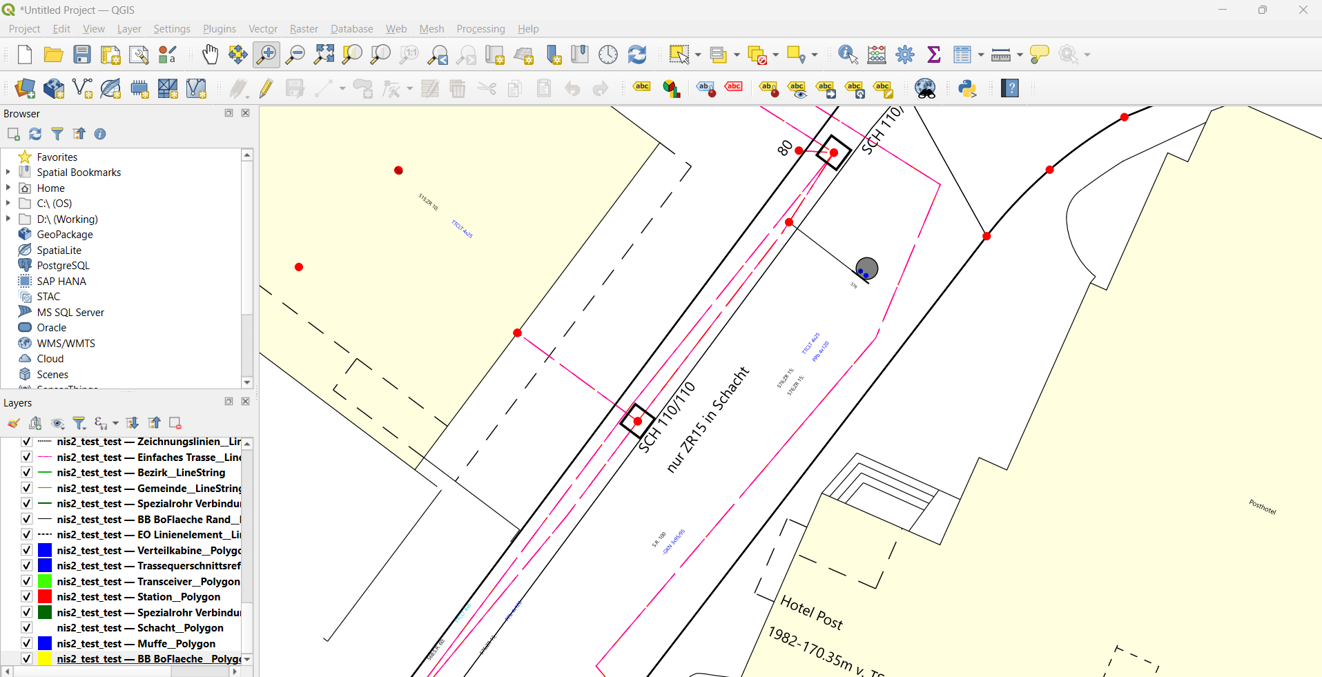
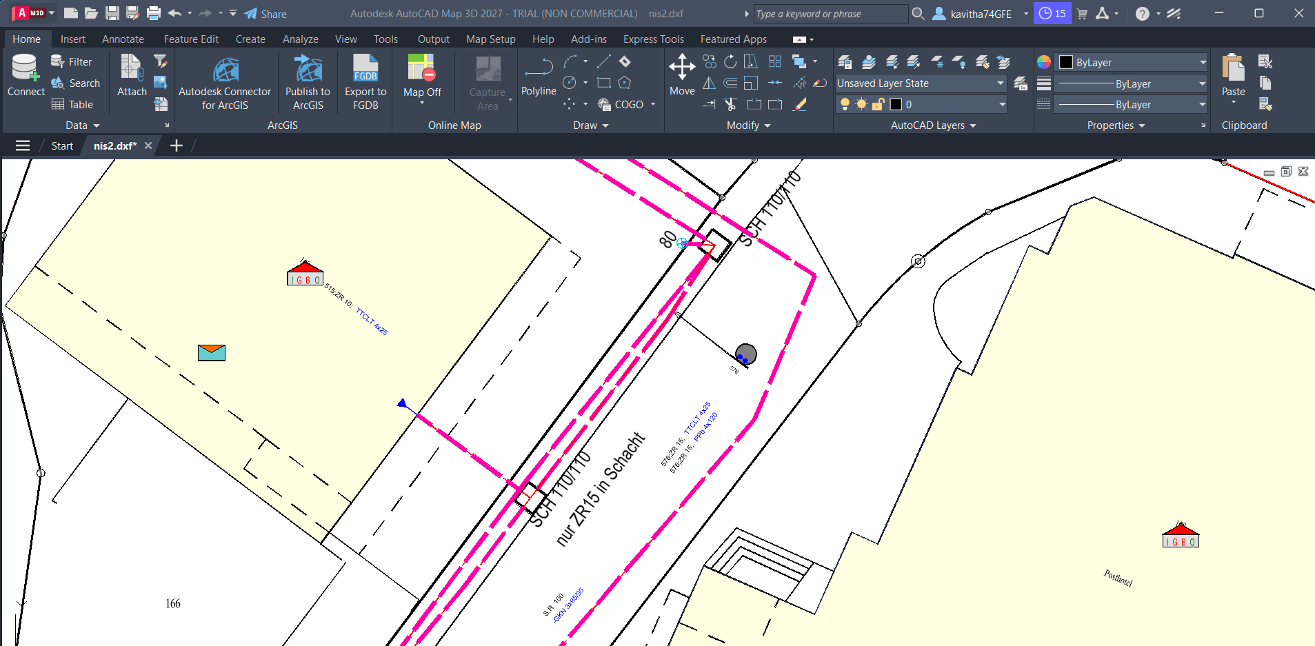
Engineer sends the CAD drawing. X-Translator turns it into data your GIS can use.

You receive CADdrawing.

Engineering data arrives as CAD. Your GIS needs something else.

Source DXF engineering drawing with utility lines, annotations and site geometry

DWG / DXF

See it in action

Watch the translation

A short product walkthrough of how X-Translator turns CAD into GIS-ready data.

For the GIS community

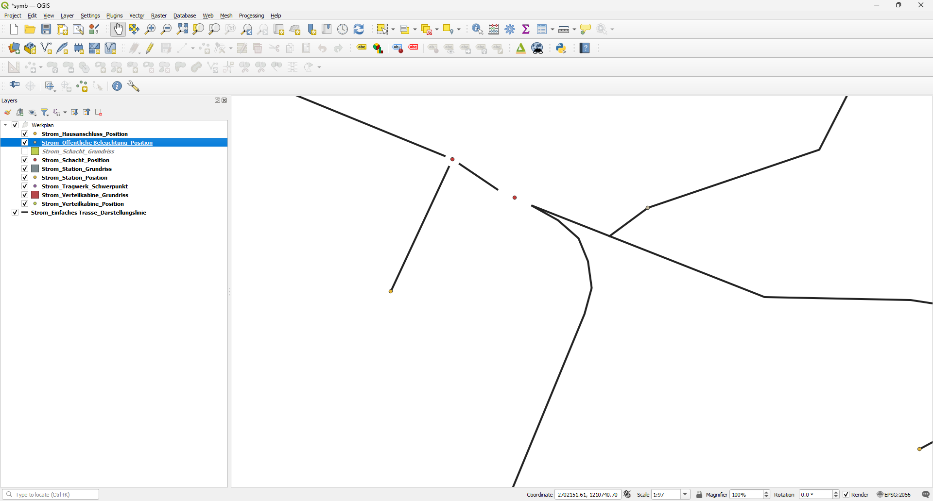
Symbols that adaptto your map.

X-Symbols

Reusable SVG symbol families for clearer, more expressive QGIS maps. Choose a design, reuse it across your projects, and adjust the colours to fit your map.

Reuse the design.

Get X-Symbols

Free download · Registration required

SEPM DataCheck

Free tool

Bad data shouldn't keep you awake.

Smallworld databases quietly collect hidden inconsistencies — invalid geometries, coordinate-system definitions, corrupt styles, unexpected field values. DataCheck scans for known issues and tells you exactly what needs attention.

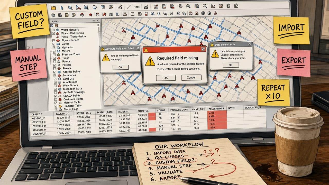
Why is my data doing this?

Illustration of a relaxed GIS specialist with a SEPM DataCheck report showing 0 errors
Illustration of a stressed GIS specialist surrounded by a report of Smallworld data problems
SEPM DataCheckScanning…
0records examined
  • Free geometries
  • Inconsistent coordinate systems
  • Corrupt RWO styles
  • Invalid unset values

Figures from an SEPM test run

Read-only by design — DataCheck never changes your data.

Discover SEPM DataCheckFree download · Registration required

SEPM Services

Expertise That Goes Beyond the Product.

From the first requirements workshop to automated data exchange in production, SEPM engineers, migrates and advises on the GIS environments utilities depend on.

  • Customer-specific Magik modules
  • Schema mapping for INTERLIS, ISYBAU and SIA 405
  • APIs and system integrations
  • Dedicated user interfaces such as SEPM Simple GUI
Explore Software Development
  • Full-scale GIS platform migrations
  • Scheduled, headless import and export jobs
  • Coordinate transformations — LV03 to LV95, WGS84, UTM
  • CAD, GIS, web and industry formats
Explore GIS Data Migration
  • Requirements engineering and specification
  • Solution architecture and data-flow design
  • Format feasibility and compatibility assessments
  • Data quality rules and governance
Explore Technical Consulting

Case Studies

See SEPM in action

Real projects from utilities and engineering firms across Switzerland and Germany — the challenge, the SEPM solution and the results behind each one.

Gas pipeline running through a Swiss alpine landscapeCase StudySwissgas AGSwissgas AGSwitzerland · Natural gas transmission

Geodata Export

Smallworld pipeline data exported to Google Earth and validated federal INTERLIS

  • X-Translator
  • INTERLIS Interface

Data path

  1. Smallworld GIS
  2. SEPM KML + INTERLIS export
  3. Google Earth · map.geo.admin.ch
  4. Federal government (MGDM)
“Whether it's an export for Google Earth, INTERLIS, or the minimal geodata model of the federal government, SEPM always delivers perfect data.”
Jürg Bichsel — Deputy Head of Network Integrity, Swissgas AG
  • Elektrizitätswerk Schwyz AG: Grid data sent straight from GIS to NEPLAN to check voltage rise from new power plants

    Read the full case study
  • SPIE SAG GmbH: Smallworld replaced by GISMobil — all vectors, attributes and raster plans migrated

    Read the full case study
  • ewz — Elektrizitätswerk der Stadt Zürich: District heating networks exported from GIS to NEPLAN — no double data entry

    Read the full case study
  • Centralschweizerische Kraftwerke AG (CKW): Smallworld project plans exported to AutoCAD as ready-made construction templates

    Read the full case study
  • aquadrat ingenieure GmbH: Sewer inventory data exchanged in ISYBAU XML — from small areas to full inventories

    Read the full case study
