
Case StudyGeodata Export
Pipeline geodata for every audience — from Google Earth to federal INTERLIS submissions
Swissgas AG · Switzerland

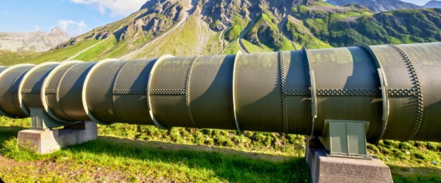
Swissgas AG manages critical natural gas pipeline infrastructure across Switzerland — infrastructure that has to be visualized, tracked, and reported to very different audiences: internal teams managing easements, engineers assessing infrastructure changes, and the Swiss federal government, which requires geodata in a specific, validated format.
- Challenge
- Delivering pipeline infrastructure data in the exact formats different audiences need — intuitive maps for internal teams, and strictly validated data for mandatory federal submissions.
- Solution
- SEPM's KML and INTERLIS exports, translating Smallworld GIS data into Google Earth, validated federal MGDM format, and Switzerland's map.geo.admin.ch platform.
- Results
- Simple, visual workflows for legal and administrative processes, validated federal submissions, and a fully functional public GIS — without installing anything.
01Challenge
Swissgas needed a way to export its Smallworld GIS data into the exact formats each of these audiences required: intuitive visual maps for easement and stakeholder communication, and strictly validated INTERLIS data for mandatory federal submissions — without maintaining separate, disconnected workflows for each.
02How the data flows
- 01
Smallworld GIS
Pipelines, easements and flight markers
- 02
SEPM KML + INTERLIS export
Direct export, validated XTF output
- 03
Google Earth · map.geo.admin.ch
Visual maps for teams and stakeholders
- 04
Federal government (MGDM)
Validated minimal geodata model
03Solution
Google Earth (KML) Export
Swissgas uses SEPM tools to export critical infrastructure directly into Google Earth, allowing for intuitive, accessible, and spatially accurate visualizations. With these KML exports, Swissgas can:
- Instantly view the status of easement renewals using color-coded overlays
- Identify and assess infrastructure changes geographically
- Share meaningful maps internally or with external stakeholders
INTERLIS Export to MGDM (Minimal Geodata Model)
Using the SEPM INTERLIS export, Swissgas delivers validated data to the federal government in the required MGDM format — a perfect match between practical workflows and official geodata obligations.
- Direct export from Smallworld GIS
- Full support for INTERLIS models (e.g. PipelinesystemUnderSupervisionByFederalGovernment_V1.ili)
- Validated XTF output for federal submission
- Advanced spatial analysis inside QGIS
Integration with map.geo.admin.ch
Swissgas uploads its KML exports to GitHub and overlays them on map.geo.admin.ch, Switzerland's federal geodata platform. This gives engineers and managers:
- A public, interactive map
- Easy sharing of flight marker data, protection zones, and pipelines
- KML-enhanced features like HTML tables for IDs, numbers, and metadata
The result is a fully functional GIS — without needing to install anything.
“Whether it's an export for Google Earth, INTERLIS, or the minimal geodata model of the federal government, SEPM always delivers perfect data.”
04Results
- 01
Intuitive, accessible Google Earth visualizations for easement and infrastructure tracking
- 02
Validated INTERLIS/MGDM data delivered directly to the federal government
- 03
A public, interactive map on map.geo.admin.ch, sharing flight markers, protection zones, and pipelines
- 04
Simple workflows powering results across legal, administrative, and engineering teams
More case studies
All case studiesEWS · Grid Simulation
Proving voltage-rise compliance for new power plants — without redrawing the low-voltage grid
Read the full case studySPIE · Data Migration
Replacing Smallworld with GISMobil — with every vector, attribute and raster plan intact
Read the full case studyewz · District Heating Interface
District heating networks from GIS to NEPLAN — without capturing the data twice
Read the full case study



Facing a similar challenge?
Let's talk about your data.
Tell us about your GIS, your target formats and your deadlines — we'll show you how SEPM can move your data reliably.