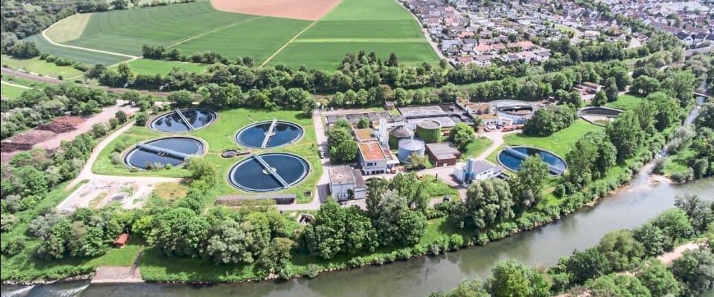
Service 03 · Advise
Technical Consulting, Solution Architecture & Requirements Engineering
Clarity Before Code.
Advisory, technical design and analysis before and during implementation. SEPM acts as a specialised technical partner to utilities, engineering firms and software vendors such as NIS AG, ESN, ITS and Mettenmeier — turning mandates, standards and difficult third-party data into architectures that work.
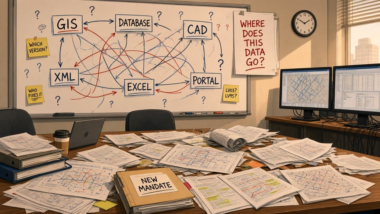


A new mandate, many systems, and nobody knows where the data goes.
Every answer raises three new questions.
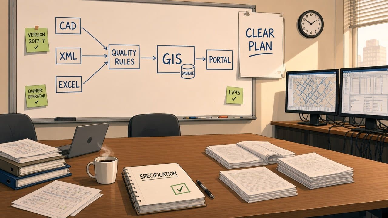
SEPM turns the questions into one clear architecture.
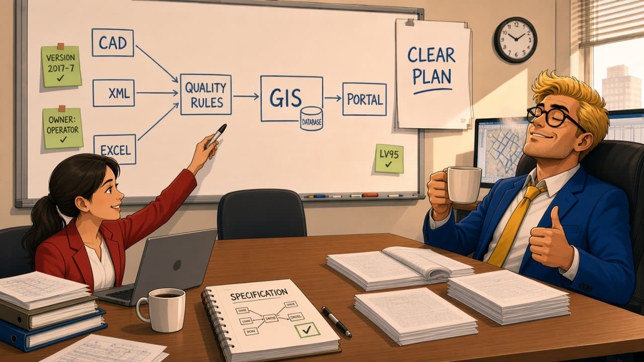
Clear data flow. Clear rules. Every open question answered.
Different systems. One workable solution.
Scope
Where We Advise.
Four areas of advisory work, from the first feasibility question to long-term data governance.
Requirements Engineering & Specification
Legal mandates, industry standards and client workflows translated into formal technical specifications.
- SIA 405
- ISYBAU
- INTERLIS
- BIM/IFC
Solution Architecture & Data-Flow Design
Multi-tier architectures, transformation pipelines and interface topologies between Smallworld and external platforms.
- Smallworld
- GIS · CAD · BIM
- Portals
Format Feasibility & Compatibility
Incoming CAD, XML, Shape and INTERLIS data analysed for gaps and schema mismatches — with clear cleanup rules.
- CAD
- XML
- Shape
- INTERLIS
Process & Quality Standards
Spatial data quality rules, geometry policies such as polygon topology and coordinate precision, and the governance processes around them.
- Topology
- Precision
- Governance
Selected work
Consulting in Practice.
01Electricity · Research
Innosuisse · HEIG-VD · NIS AG · EKZ · CKW
Power grids to BIM
An Innosuisse innovation project to bring 2D/2.5D electric grid GIS data into 3D BIM workflows using the open IFC standard.
- IFC
- ISO 16739
- LiDAR
- LV95
What SEPM did
SEPM contributed the data modelling architecture and the GIS-to-BIM mapping.
- 1Elevation strategy — enriching 2D network data with Z-coordinates from swisstopo elevation models, LiDAR and field survey.
- 2IFC mapping — Smallworld cables, overhead lines and substations mapped to IFC classes and property sets.
- 3Georeferencing — reconciling LV95/CH1903+ with origin-based BIM coordinate systems.
- 4Recommendations — a path for converting legacy network documentation into BIM-ready infrastructure models.
Outcome
A clear route from 2D network documentation to BIM-ready models.
02Gas & oil · Federal geodata
BFE · swisstopo · ERI · Swissgas
Swiss federal pipeline reporting (MGDM)
High-pressure gas and oil pipeline operators had to comply with new federal geodata mandates and publish data on map.geo.admin.ch.
- INTERLIS
- MGDM
- GeoIG
- map.geo.admin.ch
What SEPM did
SEPM took part directly in the Federal Office of Energy (BFE) project group drafting the INTERLIS minimal geodata model.
- 1Standard specification — co-drafting the INTERLIS minimal geodata model with swisstopo (KOGIS), ERI and Swissgas.
- 2Data-flow design — how operator databases feed the BFE and public mapping services.
- 3Topology policy — rules for donut polygons, overlapping buffers and corridors shared by several operators.
- 4Responsibilities — who corrects geometry: the operator, the BFE import process or SEPM/Swissgas.
Outcome
A national standard shaped with implementation reality in mind.
03Wastewater
LINZ AG · ESN · Mettenmeier
ISYBAU versioning and compatibility
Utilities receive CAD and XML files produced by different software versions and municipal standards — and automated imports fail.
- ISYBAU 2006-10
- 2013-2
- 2017-7
What SEPM did
SEPM audited the incoming data and defined what contractors must deliver.
- 1Compatibility audit — structural differences between ISYBAU 2006-10 and the supported 2013-2 and 2017-7 versions.
- 2Root-cause analysis — parsing errors traced through log files and spatial perimeters.
- 3Data requirements — mandatory and optional attributes defined for external contractors.
Outcome
Fewer failed imports, and clear delivery rules for contractors.
Capabilities
What Our Advice Delivers.
- Requirements engineering
- Technical approachLegal and industry standards (SIA 405, INTERLIS, IFC) translated into actionable mapping matrices
- Benefit to youNo ambiguity between mandates and software implementation.
- Solution architecture
- Technical approachEnd-to-end exchange pipelines connecting GIS, CAD, BIM and regulatory portals
- Benefit to youScalable interfaces that fit your existing enterprise systems.
- Data quality & governance
- Technical approachExplicit spatial tolerances, geometry validation standards and error-handling workflows
- Benefit to youInvalid spatial data kept out of production GIS.
- Innovation & R&D advisory
- Technical approachPilot projects such as GIS-to-BIM using 3D elevation models and LiDAR
- Benefit to youEarly, informed adoption of open standards.