

Smallworld and Magik depth
Years of engineering inside Smallworld GIS — from customer modules to NIS data models.
SEPM Services
SEPM's services are built on its own product suite and decades of Smallworld experience. Three service areas cover the full lifecycle of a GIS data challenge — from understanding the requirement to running the solution in production.
Service areas
01 · Build
When a standard product reaches its limits, SEPM extends it. We develop customer-specific Smallworld Magik modules, extend X-Translator scripts, build APIs and create dedicated user interfaces — so the software fits your data model, not the other way round.
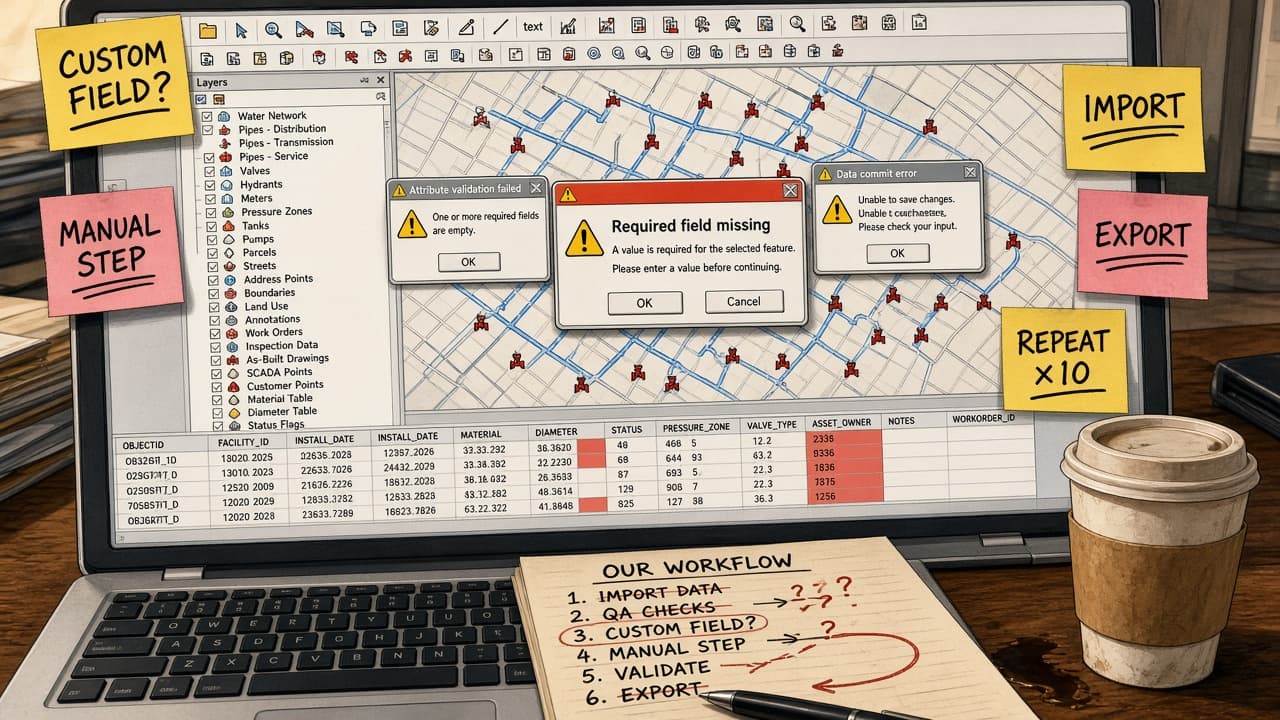
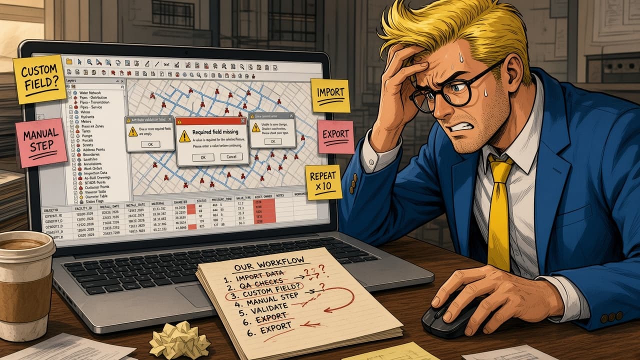
The standard software doesn't fit your workflow.
Missing fields. Manual steps. Endless repeats.
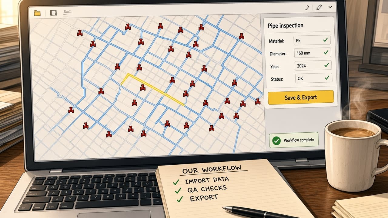
SEPM tailors the software to the way you work.
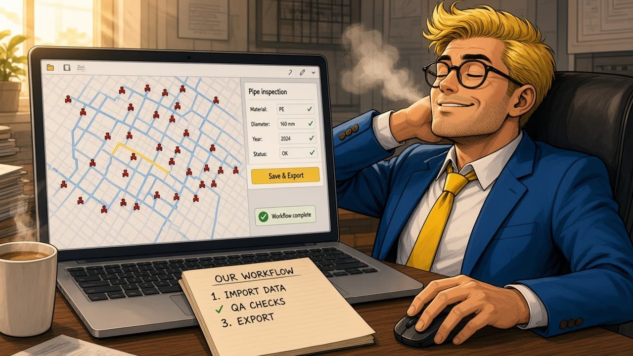
One focused panel. The right fields. One click.
Your workflow is unique. Your software can be too.
02 · Migrate
SEPM moves spatial and tabular data between systems, formats and databases — once, for a full platform migration, or continuously, through automated import and export jobs that run without user intervention.
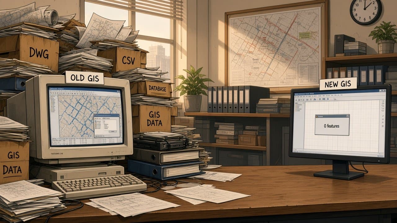

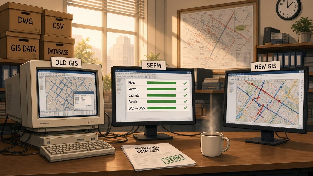

Decades of network data, stuck in the old system.
Moving it by hand takes months, and something always gets lost.
SEPM maps, converts and transfers it, automatically.
Every feature and attribute arrives intact, coordinates converted too.
Move your GIS data. Without rebuilding everything.
03 · Advise
SEPM works with utilities and implementation partners to analyse third-party data, resolve format compatibility issues, design data workflows and turn legal mandates and industry standards into clear technical requirements.
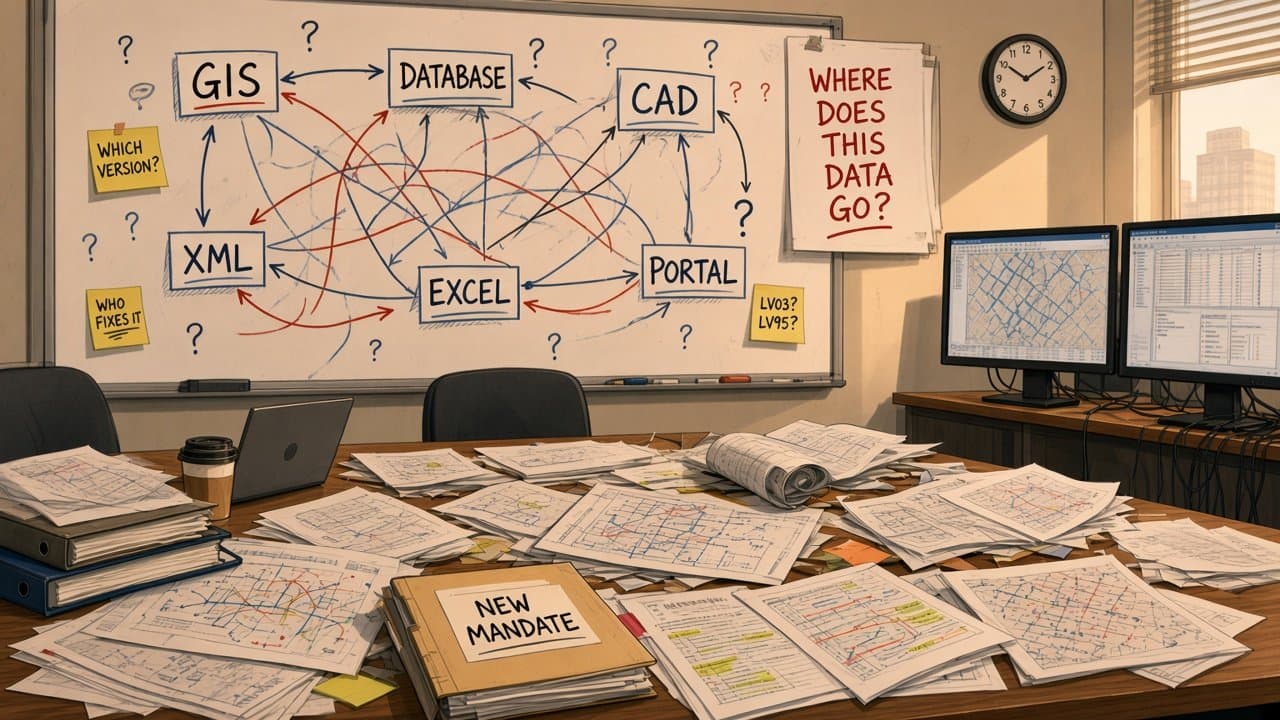
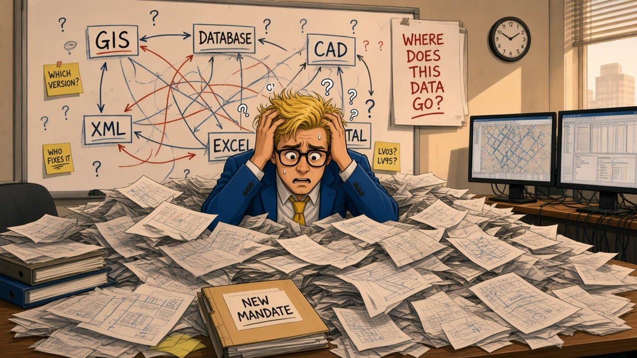
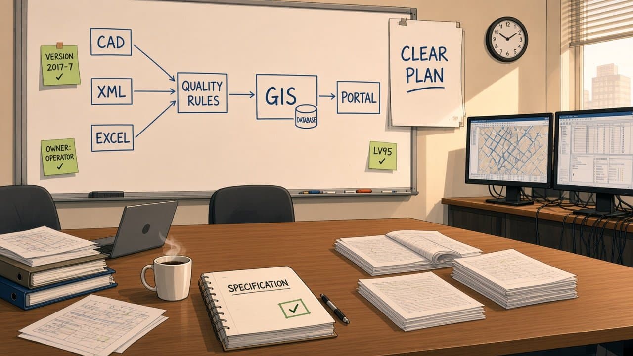
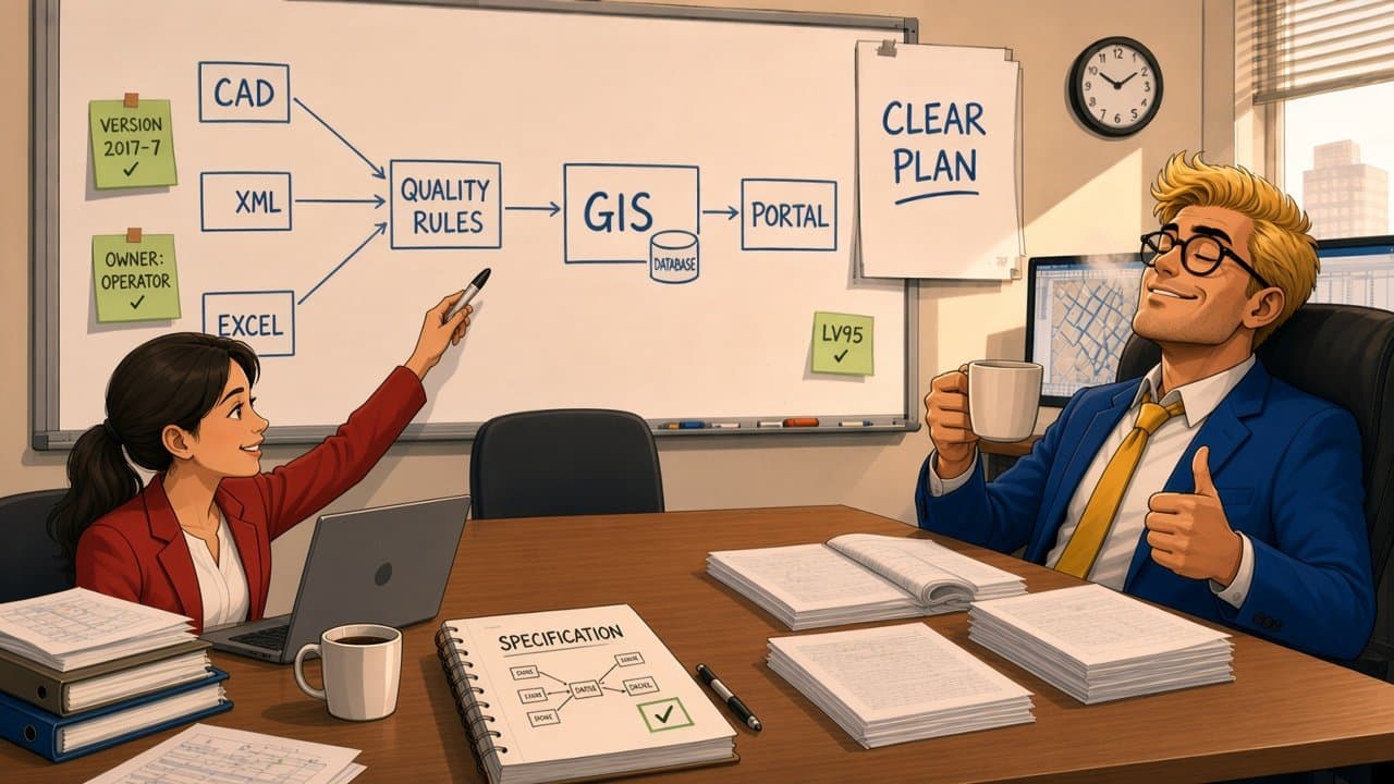
A new mandate, many systems, and nobody knows where the data goes.
Every answer raises three new questions.
SEPM turns the questions into one clear architecture.
Clear data flow. Clear rules. Every open question answered.
Different systems. One workable solution.
How they connect
Most projects touch more than one service area. The same team carries its knowledge from specification to production.
Assess feasibility, analyse incoming data and define formal requirements.
Technical Consulting →Develop the modules, mappings and interfaces the requirements call for.
Software Development →Move the data and automate recurring exchanges in production.
GIS Data Migration →Adapt as standards, systems and data change over time.
Why SEPM
Years of engineering inside Smallworld GIS — from customer modules to NIS data models.
INTERLIS, SIA 405, ISYBAU, IFC and federal geodata models — including helping to write them.
SEPM X-Translator, X-Raster and database connectors give every project a proven engine.
Electricity, gas, water and wastewater networks — and the regulations that govern them.
We work directly with utilities and alongside implementation partners such as ESN, ITS, Mettenmeier, NIS AG.
Formats & standards
Tell us about your environment, your data and the challenge you're trying to solve. We'll explore how SEPM can help.